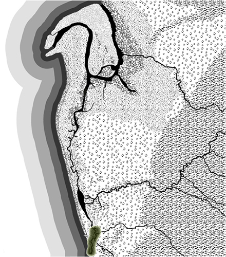
Pathawilyangga swamp gum foliage place is where the river waters flowing southwards through Witongga reached the sea. It is part of the river and wetlands ecological system of the western Adelaide region. This region is part of the interconnected cultural system along the coast and another camping area.
The trees are now called Swamp Paperbarks or Kangaroo Honey-myrtle. The wood from these trees was important. A branch would be carved down to make a small hook which was used by the men to extract kootpe borer grub out of the karra river red gums. This grub was only to be eaten by the men.
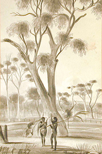
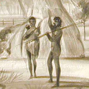
Kaurna alongside river red gum, Glenelg, 1837, J. M Skipper (AGSA Collection)
There is one small area of remnant creek and vegetation of Pathawilyangga. It is near the airport.
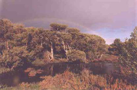
Remnant Swamp Paperbarks/Kangaroo Honey-myrtle
(Image Friends of Patawalonga Creek)
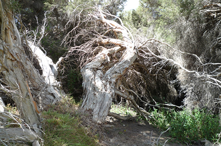
Remnant Section, Patawalonga Creek, 2012
Whilst it cannot be definitively ascribed to Pathawilyangga, the painting Swamp Lands is typical of the area prior to development and Boating Party shows the creek widening towards its mouth.
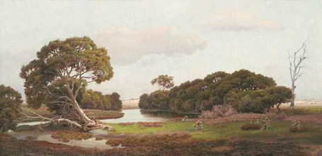
Swamp Lands, J. White, 1908 (AGSA Collection)
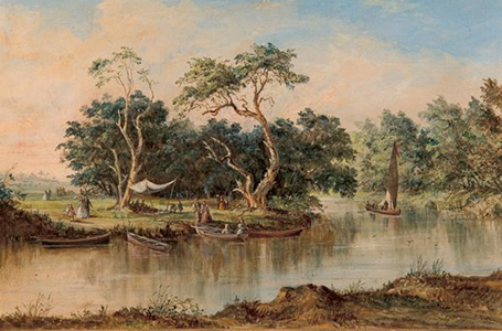
Boating Party on the Patawalonga River, J. D. Stone, 1875 (AGSA Collection)
The first European description of the area is by Colonel William Light, from when he went ashore on 3-4 October 1836 during his search for a site to found the colony.
I cannot express my delight at seeing no bounds to a flat of fine rich looking country with an abundance of fresh-water lagoons, which, if dry in summer, convinced me that one need not dig a deep well to give a sufficient supply. The little river too was deep; and it struck me that much might hereafter be made of this little stream. After walking some distance through long grass and frequently through water, we returned to the beach at two a.m., on my part rather fatigued … (Elder, 1984:70).
The beach was what we now call Glenelg and the first landing site for the settlers. An early painting shows the river mouth, the dunes and the tree studded plains.
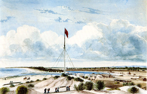
Holdfast Bay, South Australia, J. M. Skipper, 1837 (AGSA Collection)
