


West Beach Surf Life Saving Club Is Officially Open
Read More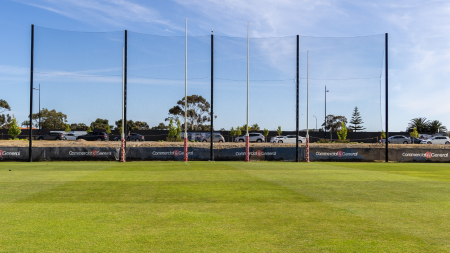
Consultation Open For The Future Plans For Football Park
Read More
Our Proposed Budget 24/25
Read More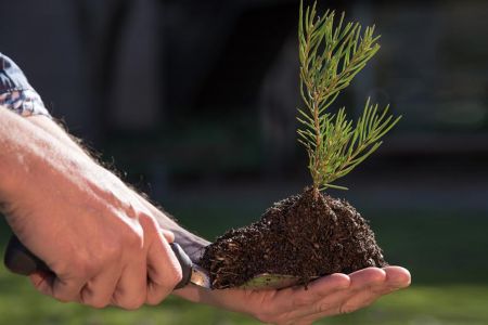
10 Plants for $10 Offer - Sold Out
Read More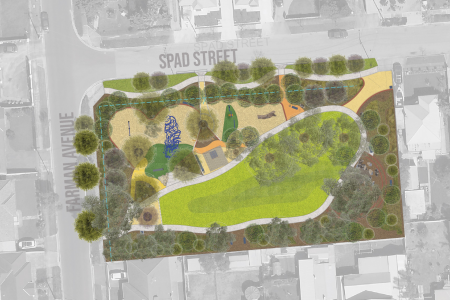
Construction Underway on New Spad Street Reserve
Read More